Snow & Winter Weather Possible Thru Thursday – Roads Treacherous
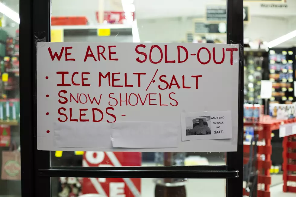
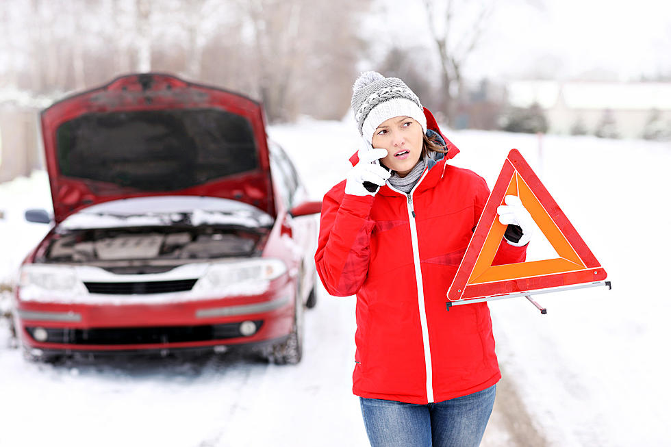
Today, I'm spending my day updating the closings page and watching the little birds bombard my bird feeders while the snow comes down. I am NOT getting out and driving but if you do, please be careful! The roads are bad and they are getting worse.
According to the National Weather Service:
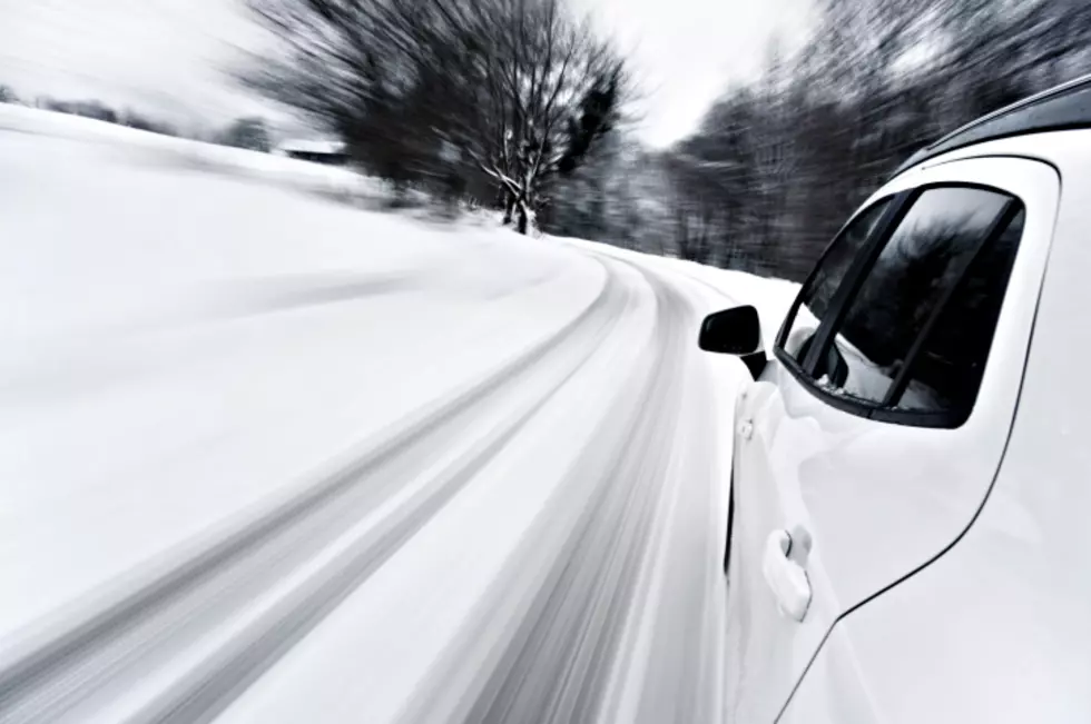
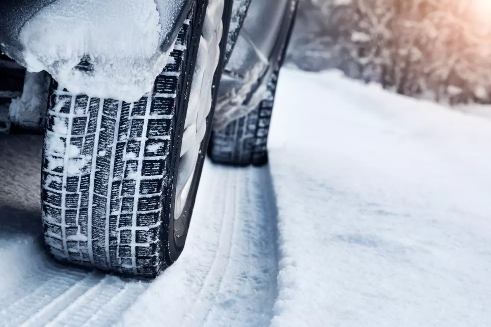
Moderate to heavy snow (with some snow pellet/sleet mixing near/south of the Ohio) continues. With snowfall rates of an inch an hour, accumulations will rapidly build. Combined with heavily reduced visibility in heavier snow areas, road conditions will be treacherous.
Treacherous... eek! #nothanks

Get our free mobile app
And the snow won't be slowing down anytime soon. In fact, this could go on until THURSDAY. Oh bother.
Detailed Forecast
Monday: Snow showers before 5pm, then snow after 5pm. The snow could be heavy at times. Areas of blowing snow. High near 19. North wind 11 to 13 mph, with gusts as high as 20 mph. Chance of precipitation is 100%. Total daytime snow accumulation of 4 to 8 inches possible.
Monday Night: Snow, mainly before 10pm. Areas of blowing snow before midnight. Low around 9. Wind chill values as low as -4. West northwest wind 9 to 14 mph, with gusts as high as 21 mph. Chance of precipitation is 90%. New snow accumulation of 2 to 4 inches possible.
Tuesday: Mostly cloudy, with a high near 18. Wind chill values as low as -5. West wind 6 to 10 mph.
Tuesday Night: Mostly cloudy, with a low around 9. West northwest wind around 5 mph becoming calm.
Wednesday: A 40 percent chance of snow. Cloudy, with a high near 26. East wind 3 to 8 mph.
Wednesday Night: Snow before 5am, then snow, possibly mixed with freezing rain. Low around 23. East northeast wind 6 to 8 mph. Chance of precipitation is 80%.
Thursday: Snow, possibly mixed with freezing rain before 9am, then snow between 9am and 11am, then snow, possibly mixed with freezing rain after 11am. High near 27. North northwest wind 7 to 13 mph. Chance of precipitation is 80%.
Thursday Night: A chance of snow before midnight. Mostly cloudy, with a low around 11. Northwest wind 8 to 10 mph.
If you do need to travel, DO NOT call 911 to check road conditions.
In Indiana:
- County Travel Status Map: Check the travel advisory level of your county on this Indiana department of Homeland Security (IDHS) site. Advisory levels represent travel restrictions and driving conditions.
- Indiana Travel Conditions: This INDOT site displays real-time road restrictions, closures and conditions throughout Indiana.
- Indiana Traffic Conditions: This INDOT site displays real-time traffic conditions throughout the state, with the ability to focus in on the Northwest, Central, and Southern regions of the state
- INDOT Road Conditions phone line: 1-800-261-ROAD (7623)
In Kentucky:
- Kentucky Traffic Conditions
- 511 Traffic & Travel Info
![[Outside Link]](https://www.kentuckyroads.com/images/kentuckyroads/outside-link2.gif) - The Kentucky Transportation Cabinet's central web site for highway and traffic reports from the entire state.
- The Kentucky Transportation Cabinet's central web site for highway and traffic reports from the entire state. - Snow and Ice Removal - Maps showing priority snow and ice removal maps for each of Kentucky's counties.
- Kentucky Roadway Weather Information System - Weather conditions and images from weather stations located at various stations around the commonwealth.
- Traffic Laws - A brief summary of Kentucky's traffic laws and what to do in case of a traffic emergency.
- Kentucky Weather Information - Weather information for cities across Kentucky.
TIPS: Here's how you can prepare for power outages
KEEP READING: Get answers to 51 of the most frequently asked weather questions...
More From Evansville News


![What’s Cookin’? Kentucky Legend’s Breakfast Hash with Ham [Recipe]](http://townsquare.media/site/76/files/2021/02/Hash.jpg?w=980&q=75)