Scattered storms could develop across the Tri State this evening as a cold front moves through, bringing gusty winds, heavy rain, and a low risk for isolated severe weather.
A wave of Arctic air is headed for the Tri-State this weekend, and forecasters warn that sub-zero wind chills could create dangerous conditions across the region. Here’s what the National Weather Service says to expect.
After Friday’s tornado outbreak, more severe storms may impact Indiana, Kentucky, and Illinois. Damaging winds, hail, and tornadoes are possible. Stay safe.
The Tristate faces a Level 4 severe weather risk with widespread damaging winds, baseball-sized hail, and possible tornadoes expected Friday afternoon and evening.
Do you know a high school or college student interested in meteorology or atmospheric science? Here's where they can have a really cool experience this summer. -->
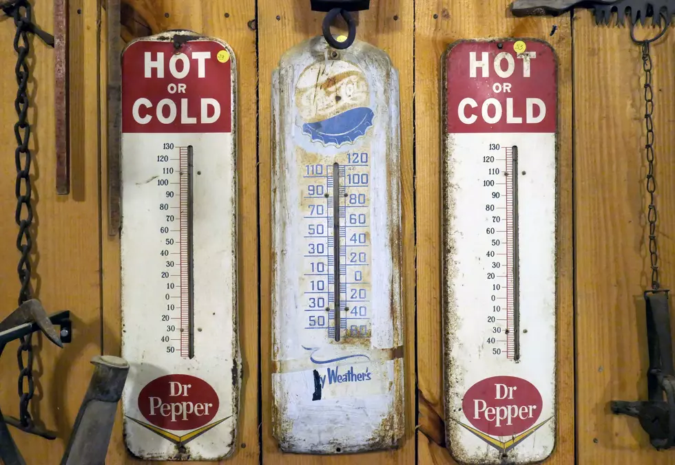
The National Weather Service says Evansville hit a new high of 80 degrees today. This is the earliest in the year that we have ever seen the temperature that warm.